-(1).gif)

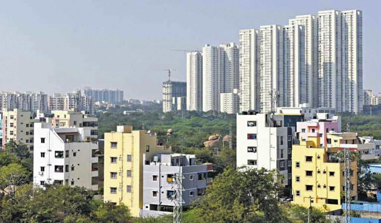
The Municipal Administration department’s mammoth exercise to integrate property information spatially by mapping and geo-tagging each property in 141 Urban Local Bodies (ULBs) is nearing completion with 87 percent of the structures being mapped and tagged. Telangana is the first State in the country to take up such an exercise on a massive scale.
Among the 20.8 lakh properties in the 141 ULBs that are to be mapped, about 17.70 lakh properties have already been mapped. This would help the department in ensuring transparency in the assessment of the properties, besides identifying under-assessed and un-assessed structures. The Commissioner and Director (Municipal Administration) is taking up the exercise to map all the properties in the urban areas and geo-tag them as well. This is being done in association with the space technology agency National Remote Sensing Centre (NRSC).
To this effect, a special mobile application, ‘Bhuvan’, was developed by NRSC to geo-tag all the urban properties. The online platform provides images and map visualization. The basic idea was to integrate property information spatially by geo-tagging each property. This apart, the exercise would help in identifying under-assessed and un-assessed properties.
The exercise would aid in getting all such structures under tax purview and increase the tax base thereby avoiding the need to revise tax rates for extending better services to citizens, said a senior official, adding till date 26,026 new properties are mapped so far.
More importantly, this exercise would bring down unauthorized constructions permitted in the building plan approval. Based on the data collected and structure images, the tax was revised for those buildings where the difference in measurements was noticed, besides construction of additional floors or area, the official said, adding that so far, 2,49,937 assessments were reassessed and an amount of Rs.87.36 crore was generated.


.jpg)